To estimate area with Google Maps, trace a boundary with the desktop Measure distance tool and close the loop. Google’s current Maps Help documents measuring distance and reports a length in miles or kilometers; it does not guarantee an area readout. If Maps shows only a length, use Google Earth’s documented polygon measurement for an explicit area value. This keeps perimeter separate from area.
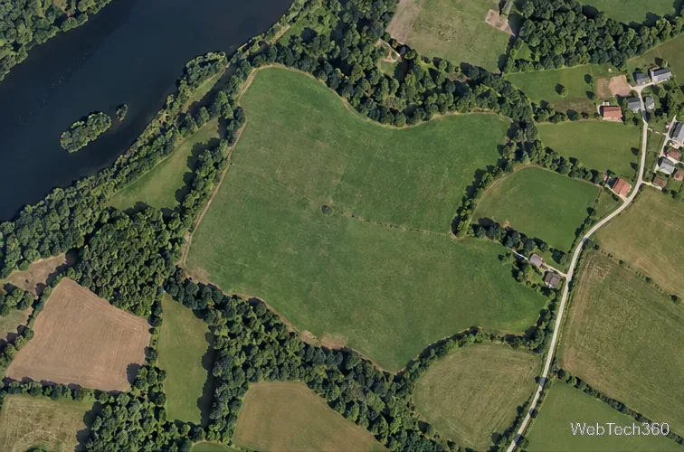
Find and frame the location. Open Google Maps in a desktop browser, search for the property or open field, and zoom until its edges are visible. A satellite view can make a field or shoreline easier to follow; keep the map in a top-down view. Identify the boundary you want to estimate before placing points. If the property line is not visible, use a reliable parcel plan or other reference rather than guessing from a road or fence.
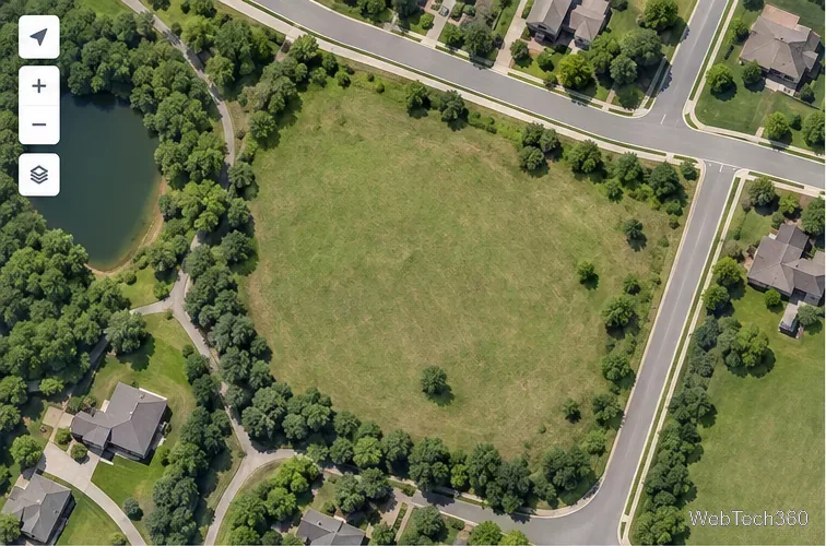
Start with a clear view of the boundary you intend to trace.
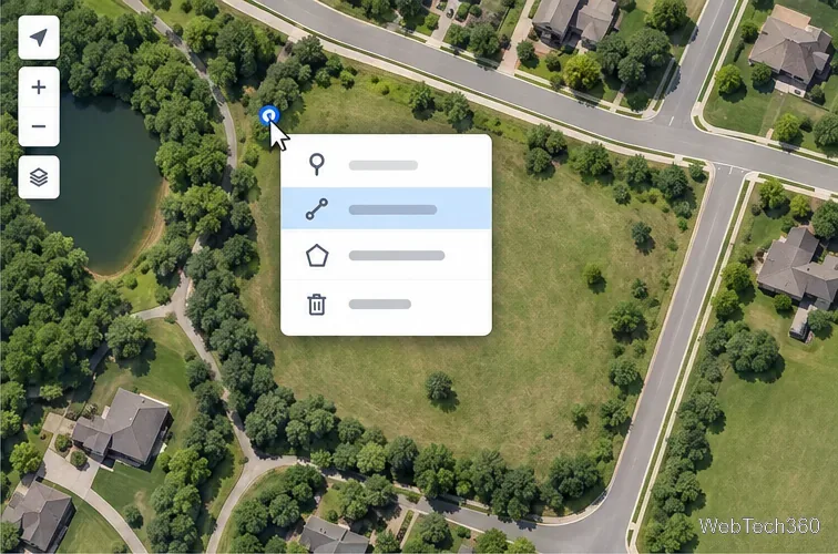
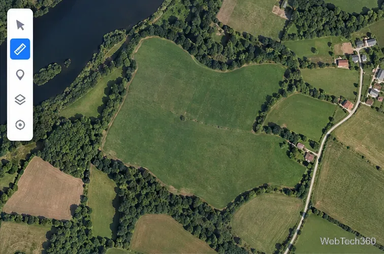
Start the measurement. Right-click the first corner of the outline, then choose Measure distance. Right-click an unmarked map location rather than a place name or icon if the map keeps opening a place card. Google says its measuring feature is unavailable in Maps Lite mode; a lightning-bolt indicator at the bottom of the map means Lite mode is active.
The Measure distance command starts a line that you can use to trace the outline.
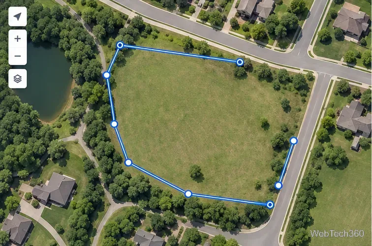
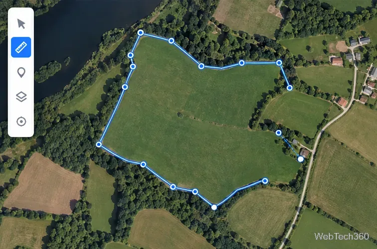
Trace each corner and bend. Click along the boundary to add points. Place points at corners and at meaningful changes in direction, adding a few more along curved edges. Keep the line on the edge you intend to measure; tracing the road shoulder instead of the property edge can include extra land. To correct the outline, Google’s help page says you can drag a point or path, or click a point to remove it.
Place vertices where the boundary changes direction, not along a route you would travel.
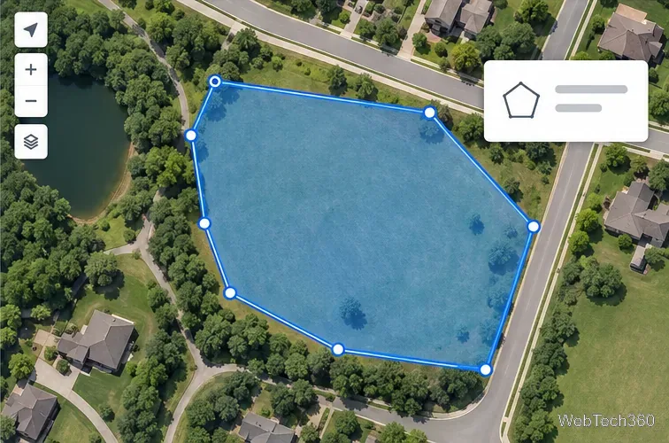
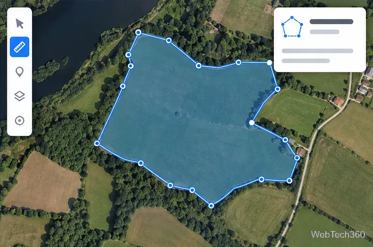
Close the loop and check the units. Click the first point again to close the outline. This gives you a closed shape to inspect, but do not mistake the total line distance for its area. If the measurement card in your version of Maps displays a square-unit value, treat it as an estimate. If it displays only miles or kilometers, Maps has returned the perimeter, not the area.
A closed polygon marks the enclosed land; verify that the displayed value is an area before using it.
Get an explicit area measurement in Google Earth
Google Earth’s current desktop help instructions explicitly support measuring polygon area. Use this workflow when you need an area value rather than only the boundary length. The same instructions recommend a top-down view for better results and note that measurements may not be fully accurate around 3D terrain or buildings.
Open the location. In Google Earth on a computer, search for the property and keep the map in a top-down view. Zoom until the boundary and its corners are easy to distinguish.
Choose a top-down view and zoom in until the parcel edges are visible.
Choose Measure. Click the Measure control on the left side of Google Earth. The view switches to a top-down measurement view. Start at a recognizable point on the boundary.
Select the measuring control before adding boundary points.
Add points around the perimeter. Click each corner or bend to place a point. Add enough points to follow curves without creating an unnecessarily jagged outline. If one lands in the wrong place, undo or drag the point to refine it.
Continue around the perimeter, checking each point against the visible edge.
Close the shape and read its area. Connect the final point to the starting point. Google Earth says the area appears in the measurement panel on the right. Check that the result uses an area unit such as square feet or square meters; use the unit settings if you need a different display.
Closing the polygon completes the measurement; the area belongs in the result panel.
For a quick conversion, divide square feet by 43,560 to get acres, or multiply square miles by 640. Keep the square units attached to the value: a perimeter in miles cannot be converted into area without knowing the shape.
How accurate is a map-based area?
A map estimate depends on the points you place and on whether the imagery clearly shows the boundary. Zoom in and refine the vertices before relying on a result. Google Earth cautions that measurements may not be 100% accurate, especially where 3D terrain or buildings are involved, and its measurements do not account for elevation changes. A flat map outline is therefore suitable for rough planning, not for establishing a legal property line, surveying land, or making a purchase decision. For those uses, check the relevant land records or hire a licensed surveyor.
Google Maps’ Android and iPhone instructions describe measuring distance, not area. On Android, Google Earth documents polygon-area measurement: add points and close the shape. See Google Earth Help for Android for the mobile steps.